Lenné3D offers project-specific services and software products for the modelling and visualisation of landscapes, gardens and vegetation through interactive applications, animations and static images.
Why we should work together
We can create any type of visualisation for you – from realistic simulations in photos, videos and panoramas to virtual walk-through 3D models. We do this by means of a wide range of software and methods. Our visualisations are ideally suited to making spatial changes or complex processes visible and comprehensible. In this way they become essential components of internal and external project communication.
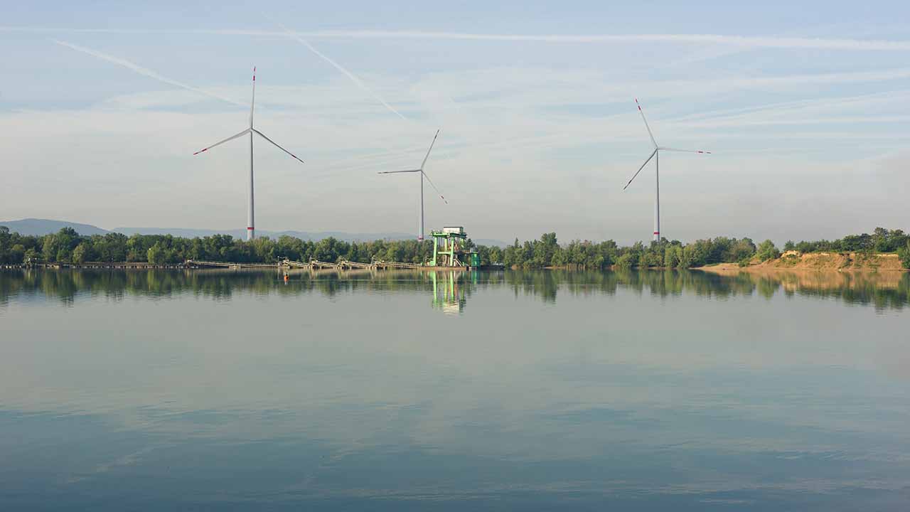
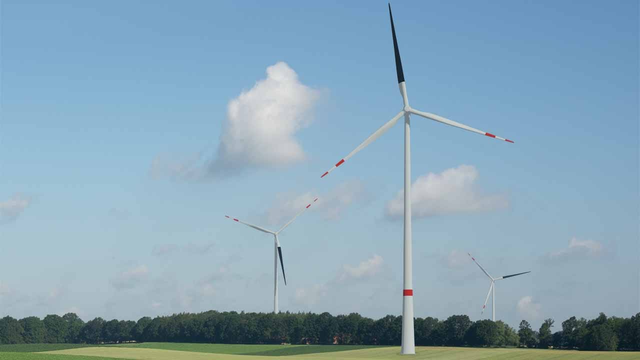
In recent years we have above all been working on projects in the fields of energy policy, climate change as well as the perennial issue of the visual landscape. We don’t only create visualisations for you, but also support you at information events and in the creation of project websites and scientific surveys. We are also able to provide you with support throughout the communication process.
Thanks to our many years of experience in a wide range of different project set-ups, we can offer you flexible and efficient support. Our expertise and scientific background guarantee a high level of quality as well as neutrality. This makes us a strong partner to our clients and at the same time underlines our position as an independent, external expert – especially in critical, emotional or complex projects.
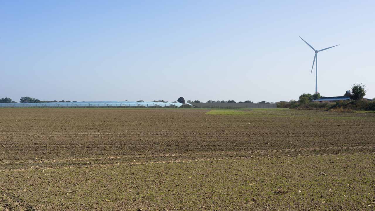
The simulations of Lenné3D became relevant consideration material in the current amendment procedure of the land use plan and landscape program for the representation of suitability areas for wind energy plants in Hamburg. They were an irreplaceable help for the assessment of the impact on the landscape and for the communication with the affected citizens. Overall, the acceptance of the planning was increased by the simulations.
What our clients say
Lenné3D have accompanied us from the beginning in our project ‚REALCOOL‘ (‚Really cooling water bodies in cities‘) as visualizers. We worked in a cooperation of urban planners, meteorologists and hydrologists on new typologies for urban water environments. Lenné3D first produced 3D base drawings that supported the design process. They then produced many good photorealistic visualizations of our new typologies and finally animations of the new typologies. These animations show in a very attractive and vivid way how the typologies work spatially and microclimatically.
What our clients say
We have Lenné3D to thank for a particularly attractive and innovative exhibit for our „The World of Palms“ exhibition. The 3D flight through the Oasis of Jericho at the time of Herod the Great not only inspires those interested in archaeology – it also provides authentic insights into the layout of a date palm grove – including the matching backdrop of bird calls and rustling leaves.
What our clients say
Lenné3D provided a large number of simulations for the land use plan amendment procedure for the designation of concentration zones for wind energy use in the Saarbrücken Regional Association. The different simulations contributed to a much better understanding of the plan justification. The realistic visualizations of wind energy plants were a great support especially in citizen information events. The extremely high reliability of Lenné3D during the whole planning procedure has to be emphasized, which also enabled short-term deliveries of additional simulations.
What our clients say
Lenné3D has created photo-based visualizations of significant visual relationships for our planned wind farm repowering. The visualizations are a helpful support for the assessment of the visual impact on the neighboring old town of Stralsund, which is protected as a UNESCO World Heritage Site. They were used as an expert opinion in the planning and approval process.